 vesseltracker.com
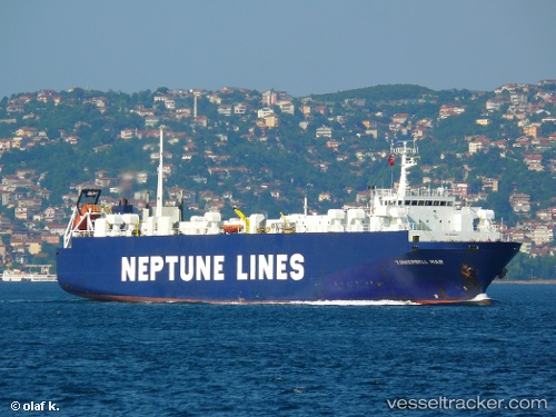
 Tulip
Tulip
Current Status
Where is the vessel?
Tulip is currently in 103 nm W of Methoni, based on AIS data received about 2h ago.
Latest AIS update:
Current position: 36.24787° N, 19.69152° E (103 nm W of Methoni)
Average speed (last 7 days): Loading…
Average speed (last 30 days): Loading…
Vessel profile: Tulip is a Vehicles Carrier with dimensions 102m x 15m.
This page combines live AIS, route history, probable destination signals, nearby traffic, and port activity for practical vessel monitoring.
The current position of vessel Tulip is 36.24787 lat / 19.69152 lng. Updated: 2026-05-13 22:07:20 UTCNearest reference points:
- 103 nm NE of Ryuo
- 71 nm N of Pinelands
- 73 nm N of Pinelands
Currently sailing under the flag of Lebanon ![]()
Tulip built in 1987 year
Deadweight:
2012 tDetails:
Live Vessel Tulip Analytics (details, animations, etc.)
Recent AIS points (UTC):
2026-05-13 20:12:49 UTC · 36.22063, 20.18722 · SOG 12.5 kn · COG 277°2026-05-13 21:52:36 UTC · 36.24441, 19.75573 · SOG 12.6 kn · COG 275°
2026-05-13 22:07:20 UTC · 36.24787, 19.69152 · SOG 12.7 kn · COG 273°
2026-05-13 22:07:20 UTC · 36.24787, 19.69152 · SOG 12.7 kn · COG 273°