 vesseltracker.com
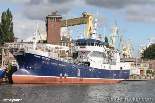
 Baaragutt
Current Status
Where is the vessel?
Baaragutt is currently in Near BATSFJORD, based on AIS data received less than 1h ago.
Latest AIS update:
Current position: 70.63556° N, 29.72970° E (Near BATSFJORD)
Average speed (last 7 days): Loading…
Average speed (last 30 days): Loading…
Vessel profile: Baaragutt is a Fishing Vessel with dimensions 44m x 9m.
This page combines live AIS, route history, probable destination signals, nearby traffic, and port activity for practical vessel monitoring.
The current position of vessel Baaragutt is 70.63556 lat / 29.72970 lng. Updated: 2026-05-16 05:45:12 UTCNearest reference points:
- Near BATSFJORD
- Near Bugøynes
- Near Nyelv
Currently sailing under the flag of Norway ![]()
Baaragutt built in 1987 year
Details:
Live Vessel Baaragutt Analytics (details, animations, etc.)
Recent AIS points (UTC):
2026-05-16 02:05:31 UTC · 70.63554, 29.72968 · SOG 0 kn · COG 145°2026-05-16 03:38:32 UTC · 70.63557, 29.72970 · SOG 0 kn · COG 144°
2026-05-16 04:13:10 UTC · 70.63556, 29.72971 · SOG 0 kn · COG 145°
2026-05-16 05:45:12 UTC · 70.63556, 29.72970 · SOG 0 kn · COG 145°