 vesseltracker.com
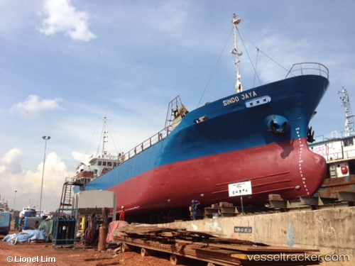
Sindo Permai
Current StatusWhere is the vessel?
Sindo Permai is currently in 13 nm NW of Padang, based on AIS data received about 5d ago.
Latest AIS update:
Current position: 0.84769° S, 100.22151° E (13 nm NW of Padang)
Average speed (last 7 days): Loading…
Average speed (last 30 days): Loading…
Vessel profile: Sindo Permai is a General Cargo Ship with dimensions 12m x 71m.
This page combines live AIS, route history, probable destination signals, nearby traffic, and port activity for practical vessel monitoring.
The current position of vessel Sindo Permai is -0.84769 lat / 100.22151 lng. Updated: 2026-05-10 12:59:02 UTCNearest reference points:
- Near Pelabuhan Futong Terminal
- 34 nm NW of FUTONG
Details:
Live Vessel Sindo Permai Analytics (details, animations, etc.)
Recent AIS points (UTC):
2026-05-10 12:59:02 UTC · -0.84769, 100.22151 · SOG 6.3 kn · COG 308°2026-05-10 12:59:02 UTC · -0.84769, 100.22151 · SOG 6.3 kn · COG 308°
2026-05-10 12:59:02 UTC · -0.84769, 100.22151 · SOG 6.3 kn · COG 308°
2026-05-10 12:59:02 UTC · -0.84769, 100.22151 · SOG 6.3 kn · COG 308°