 vesseltracker.com
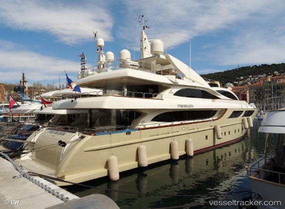
 PANAKEIA
Current Status
Where is the vessel?
PANAKEIA is currently in 38 nm NW of Al Alamein International Apt/Daaba City, based on AIS data received less than 1h ago.
Latest AIS update:
Current position: 31.45167° N, 28.04500° E (38 nm NW of Al Alamein International Apt/Daaba City)
Average speed (last 7 days): Loading…
Average speed (last 30 days): Loading…
Vessel profile: PANAKEIA is a Pleasure Craft with dimensions m x m.
This page combines live AIS, route history, probable destination signals, nearby traffic, and port activity for practical vessel monitoring.
The current position of vessel PANAKEIA is 31.45167 lat / 28.04500 lng. Updated: 2026-04-27 20:00:06 UTCNearest reference points:
- 28 nm N of Hamra
- 13 nm W of EL DEKHEILA
- Near EL DEKHEILA
Currently sailing under the flag of Cook Islands ![]()
Details:
Live Vessel PANAKEIA Analytics (details, animations, etc.)
Recent AIS points (UTC):
2026-04-27 16:10:23 UTC · 31.12870, 28.64977 · SOG 8.9 kn · COG 310°2026-04-27 17:30:00 UTC · 31.23500, 28.44667 · SOG 9 kn · COG -1°
2026-04-27 19:37:21 UTC · 31.41711, 28.10606 · SOG 10 kn · COG 304°
2026-04-27 20:00:06 UTC · 31.45167, 28.04500 · SOG 10 kn · COG -1°