 vesseltracker.com
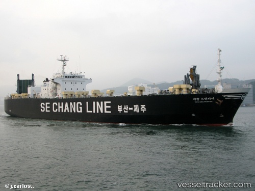
 FRONTIER
Current Status
Where is the vessel?
FRONTIER is currently in Near Chittagong, based on AIS data received about 1h ago.
Latest AIS update:
Current position: 22.16067° N, 91.80022° E (Near Chittagong)
Average speed (last 7 days): Loading…
Average speed (last 30 days): Loading…
Vessel profile: FRONTIER is a Cargo with dimensions m x m.
This page combines live AIS, route history, probable destination signals, nearby traffic, and port activity for practical vessel monitoring.
The current position of vessel FRONTIER is 22.16067 lat / 91.80022 lng. Updated: 2026-05-14 03:19:17 UTCNearest reference points:
- Near Chittagong
- 12 nm NW of Chattogram
- 23 nm NW of Cox's Bazar
Currently sailing under the flag of Comoros ![]()
Details:
Live Vessel FRONTIER Analytics (details, animations, etc.)
Recent AIS points (UTC):
2026-05-13 23:07:17 UTC · 22.15810, 91.79988 · SOG 0.2 kn · COG 345°2026-05-14 02:07:16 UTC · 22.16070, 91.80083 · SOG 0 kn · COG 158°
2026-05-14 03:19:17 UTC · 22.16067, 91.80022 · SOG 0 kn · COG 107°
2026-05-14 03:19:17 UTC · 22.16067, 91.80022 · SOG 0 kn · COG 107°