 vesseltracker.com
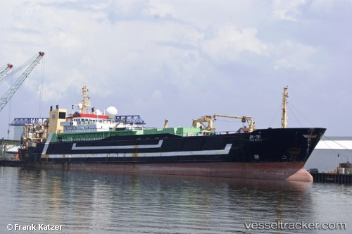
 Tsaritsa
Current Status
Where is the vessel?
Tsaritsa is currently in Near Busan, based on AIS data received less than 1h ago.
Latest AIS update:
Current position: 35.09756° N, 129.06606° E (Near Busan)
Average speed (last 7 days): Loading…
Average speed (last 30 days): Loading…
Vessel profile: Tsaritsa is a Fishing Vessel with dimensions 125m x 18m.
This page combines live AIS, route history, probable destination signals, nearby traffic, and port activity for practical vessel monitoring.
The current position of vessel Tsaritsa is 35.09756 lat / 129.06606 lng. Updated: 2026-05-14 17:36:35 UTCNearest reference points:
- Near Busan
- Near Gamcheon/Busan
- Near Gijang-gun/Busan
Currently sailing under the flag of Russia ![]()
Tsaritsa built in 1988 year
Deadweight:
3250 tDetails:
Live Vessel Tsaritsa Analytics (details, animations, etc.)
Recent AIS points (UTC):
2026-05-14 14:03:32 UTC · 35.09752, 129.06602 · SOG 0 kn · COG 34°2026-05-14 15:48:35 UTC · 35.09757, 129.06598 · SOG 0 kn · COG 32°
2026-05-14 16:54:34 UTC · 35.09755, 129.06601 · SOG 0 kn · COG 35°
2026-05-14 17:36:35 UTC · 35.09756, 129.06606 · SOG 0 kn · COG 34°