 vesseltracker.com
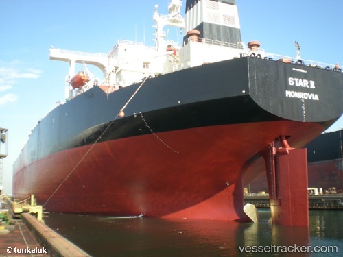
 FPSO BRAVO
Current Status
Where is the vessel?
FPSO BRAVO is currently in 46 nm SW of Fluminense FPSO, based on AIS data received less than 1h ago.
Latest AIS update:
Current position: 23.13167° S, 41.07333° W (46 nm SW of Fluminense FPSO)
Average speed (last 7 days): Loading…
Average speed (last 30 days): Loading…
Vessel profile: FPSO BRAVO is a Offshore Processing Ship with dimensions 58m x 371m.
This page combines live AIS, route history, probable destination signals, nearby traffic, and port activity for practical vessel monitoring.
The current position of vessel FPSO BRAVO is -23.13167 lat / -41.07333 lng. Updated: 2026-05-14 21:35:54 UTCNearest reference points:
- 47 nm E of Arraial do Cabo
- 24 nm SE of Carapebus
- Near Fluminense FPSO
Currently sailing under the flag of Bahamas ![]()
FPSO BRAVO built in 1989 year
Deadweight:
270182 tDetails:
Live Vessel FPSO BRAVO Analytics (details, animations, etc.)
Recent AIS points (UTC):
2026-05-14 17:47:58 UTC · -23.13452, -41.07093 · SOG 0 kn · COG 245°2026-05-14 19:26:57 UTC · -23.13444, -41.07092 · SOG 0.2 kn · COG 243°
2026-05-14 19:44:55 UTC · -23.13385, -41.07142 · SOG 0.1 kn · COG 227°
2026-05-14 21:35:54 UTC · -23.13167, -41.07333 · SOG 0 kn · COG -1°