 vesseltracker.com
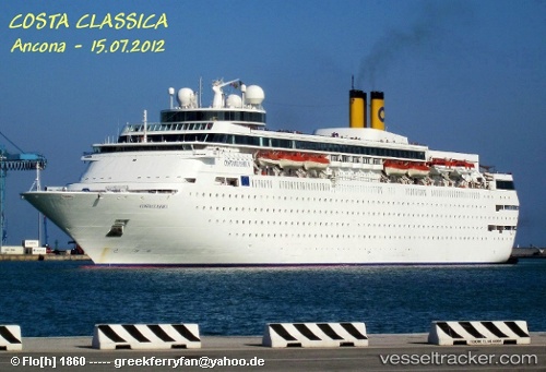
 MARGARITAVILLE AT SEA PARADISE
Current Status
Where is the vessel?
MARGARITAVILLE AT SEA PARADISE is currently in Near Key West, based on AIS data received about 1h ago.
Latest AIS update:
Current position: 24.55667° N, 81.80833° W (Near Key West)
Average speed (last 7 days): Loading…
Average speed (last 30 days): Loading…
Vessel profile: MARGARITAVILLE AT SEA PARADISE is a Passenger (Cruise) Ship with dimensions 220m x 220m.
This page combines live AIS, route history, probable destination signals, nearby traffic, and port activity for practical vessel monitoring.
The current position of vessel MARGARITAVILLE AT SEA PARADISE is 24.55667 lat / -81.80833 lng. Updated: 2026-05-13 19:46:55 UTCNearest reference points:
- Near Key West
- Near Summerland Key
- 25 nm N of Little Torch Key
Currently sailing under the flag of Bahamas ![]()
MARGARITAVILLE AT SEA PARADISE built in 1991 year
Deadweight:
7781 tDetails:
Live Vessel MARGARITAVILLE AT SEA PARADISE Analytics (details, animations, etc.)
Recent AIS points (UTC):
2026-05-13 16:16:57 UTC · 24.55667, -81.80833 · SOG 0 kn · COG -1°2026-05-13 17:57:54 UTC · 24.55829, -81.80880 · SOG 0 kn · COG 18°
2026-05-13 19:42:55 UTC · 24.55826, -81.80879 · SOG 0 kn · COG 18°
2026-05-13 19:46:55 UTC · 24.55667, -81.80833 · SOG 0 kn · COG -1°