 vesseltracker.com
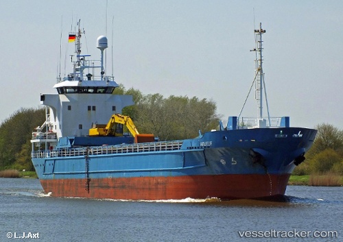
 Hav Nordic
Current Status
Where is the vessel?
Hav Nordic is currently in Near Nordkjosbotn, based on AIS data received less than 1h ago.
Latest AIS update:
Current position: 69.23800° N, 19.36250° E (Near Nordkjosbotn)
Average speed (last 7 days): Loading…
Average speed (last 30 days): Loading…
Vessel profile: Hav Nordic is a Multi Purpose Carrier with dimensions 75m x 13m.
This page combines live AIS, route history, probable destination signals, nearby traffic, and port activity for practical vessel monitoring.
The current position of vessel Hav Nordic is 69.23800 lat / 19.36250 lng. Updated: 2026-04-25 22:12:34 UTCNearest reference points:
- Near Tromsø
- Near Tromso
- Near SOMMAROY
Currently sailing under the flag of Faroe Is ![]()
Hav Nordic built in 1990 year
Deadweight:
3013 tDetails:
Live Vessel Hav Nordic Analytics (details, animations, etc.)
Recent AIS points (UTC):
2026-04-25 19:12:31 UTC · 69.23797, 19.36252 · SOG 0 kn · COG 282°2026-04-25 19:42:29 UTC · 69.23795, 19.36253 · SOG 0 kn · COG 282°
2026-04-25 21:54:33 UTC · 69.23800, 19.36247 · SOG 0 kn · COG 281°
2026-04-25 22:12:34 UTC · 69.23800, 19.36250 · SOG 0 kn · COG 282°