 vesseltracker.com
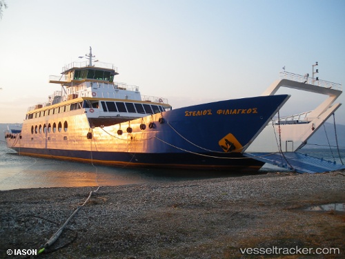
 FAROS
FAROS
Current Status
Where is the vessel?
FAROS is currently in Near Split, based on AIS data received less than 1h ago.
Latest AIS update:
Current position: 43.50328° N, 16.44057° E (Near Split)
Average speed (last 7 days): Loading…
Average speed (last 30 days): Loading…
Vessel profile: FAROS is a Passenger/Ro-Ro Ship (vehicles) with dimensions 18m x 106m.
This page combines live AIS, route history, probable destination signals, nearby traffic, and port activity for practical vessel monitoring.
The current position of vessel FAROS is 43.50328 lat / 16.44057 lng. Updated: 2026-05-02 19:27:00 UTCNearest reference points:
- Near Split
- Near Kastel Sucurac
- Near Stobrec
Currently sailing under the flag of Croatia ![]()
FAROS built in 2009 year
Deadweight:
890 tDetails:
Live Vessel FAROS Analytics (details, animations, etc.)
Recent AIS points (UTC):
2026-05-02 16:06:01 UTC · 43.50330, 16.44057 · SOG 0 kn · COG 89°2026-05-02 16:30:02 UTC · 43.50330, 16.44057 · SOG 0 kn · COG 89°
2026-05-02 18:15:04 UTC · 43.50330, 16.44055 · SOG 0 kn · COG 89°
2026-05-02 19:27:00 UTC · 43.50328, 16.44057 · SOG 0 kn · COG 90°