 vesseltracker.com
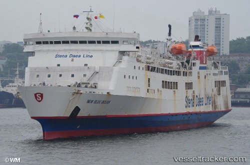
 ALJADARA
Current Status
Where is the vessel?
ALJADARA is currently in 42 nm SE of OSMAN DIGNA, based on AIS data received about 1h ago.
Latest AIS update:
Current position: 18.78384° N, 38.00753° E (42 nm SE of OSMAN DIGNA)
Average speed (last 7 days): Loading…
Average speed (last 30 days): Loading…
Vessel profile: ALJADARA is a Ro-Ro/Passenger Ship with dimensions m x m.
This page combines live AIS, route history, probable destination signals, nearby traffic, and port activity for practical vessel monitoring.
The current position of vessel ALJADARA is 18.78384 lat / 38.00753 lng. Updated: 2026-05-16 01:50:53 UTCNearest reference points:
- Near Port Sudan
- 53 nm SW of SHUAIBAH
- 99 nm SW of Al Qunfudah
Currently sailing under the flag of Saint Kitts and Nevis ![]()
Details:
Live Vessel ALJADARA Analytics (details, animations, etc.)
Recent AIS points (UTC):
2026-05-15 22:01:59 UTC · 18.78187, 38.00748 · SOG 0 kn · COG 346°2026-05-15 23:57:12 UTC · 18.78181, 38.00761 · SOG 0 kn · COG 348°
2026-05-16 01:26:53 UTC · 18.78174, 38.00753 · SOG 2 kn · COG 346°
2026-05-16 01:50:53 UTC · 18.78384, 38.00753 · SOG 13.2 kn · COG 347°