 vesseltracker.com
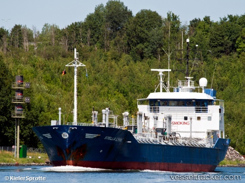
Durango9
Current StatusWhere is the vessel?
Durango9 is currently in Near Basrah Oil Terminal, based on AIS data received about 1h ago.
Latest AIS update:
Current position: 29.64333° N, 48.78167° E (Near Basrah Oil Terminal)
Average speed (last 7 days): Loading…
Average speed (last 30 days): Loading…
Vessel profile: Durango9 is a Chemical Oil Products Tanker with dimensions 15m x 96m.
This page combines live AIS, route history, probable destination signals, nearby traffic, and port activity for practical vessel monitoring.
The current position of vessel Durango9 is 29.64333 lat / 48.78167 lng. Updated: 2026-05-15 21:58:54 UTCNearest reference points:
- 11 nm SW of Basrah Oil Terminal
- 15 nm S of Imam Khomeini Pt/ Mahshahr City
- Near Ra's al Ard
Details:
Live Vessel Durango9 Analytics (details, animations, etc.)
Recent AIS points (UTC):
2026-05-15 19:33:52 UTC · 29.64419, 48.78019 · SOG 0 kn · COG -1°2026-05-15 20:09:53 UTC · 29.64449, 48.78030 · SOG 0 kn · COG -1°
2026-05-15 21:57:50 UTC · 29.64465, 48.78220 · SOG 0 kn · COG -1°
2026-05-15 21:58:54 UTC · 29.64333, 48.78167 · SOG 0 kn · COG -1°