 vesseltracker.com
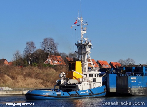
 Joulius
Current Status
Where is the vessel?
Joulius is currently in Near Hjortshøj, based on AIS data received less than 1h ago.
Latest AIS update:
Current position: 56.25117° N, 10.34826° E (Near Hjortshøj)
Average speed (last 7 days): Loading…
Average speed (last 30 days): Loading…
Vessel profile: Joulius is a Pusher Tug with dimensions 137m x 21m.
This page combines live AIS, route history, probable destination signals, nearby traffic, and port activity for practical vessel monitoring.
The current position of vessel Joulius is 56.25117 lat / 10.34826 lng. Updated: 2026-05-14 22:33:15 UTCNearest reference points:
- Near Randers
- Near Glesborg
- Near Grena
Currently sailing under the flag of Denmark ![]()
Joulius built in 1989 year
Deadweight:
147 tDetails:
Live Vessel Joulius Analytics (details, animations, etc.)
Recent AIS points (UTC):
2026-05-14 19:44:31 UTC · 56.25117, 10.34826 · SOG 0 kn · COG 321°2026-05-14 20:03:19 UTC · 56.25115, 10.34826 · SOG 0 kn · COG 321°
2026-05-14 21:56:32 UTC · 56.25117, 10.34826 · SOG 0 kn · COG 321°
2026-05-14 22:33:15 UTC · 56.25117, 10.34826 · SOG 0 kn · COG 321°