 vesseltracker.com
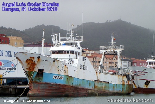
Playa Da Cativa
Current StatusWhere is the vessel?
Playa Da Cativa is currently in 119 nm SE of PUNTA DEL ESTE, based on AIS data received about 2h ago.
Latest AIS update:
Current position: 36.65510° S, 53.68307° W (119 nm SE of PUNTA DEL ESTE)
Average speed (last 7 days): Loading…
Average speed (last 30 days): Loading…
Vessel profile: Playa Da Cativa is a Fishing Vessel with dimensions 8m x 48m.
This page combines live AIS, route history, probable destination signals, nearby traffic, and port activity for practical vessel monitoring.
The current position of vessel Playa Da Cativa is -36.65510 lat / -53.68307 lng. Updated: 2026-04-26 03:47:28 UTCNearest reference points:
- 75 nm SE of LA PALOMA
- 91 nm SE of Punta Medanos
- 21 nm E of PUNTA DEL ESTE
Details:
Live Vessel Playa Da Cativa Analytics (details, animations, etc.)
Recent AIS points (UTC):
2026-04-26 01:52:35 UTC · -36.41587, -53.89112 · SOG 9.4 kn · COG 148°2026-04-26 03:47:28 UTC · -36.65510, -53.68307 · SOG 9.2 kn · COG 146°
2026-04-26 03:47:28 UTC · -36.65510, -53.68307 · SOG 9.2 kn · COG 146°
2026-04-26 03:47:28 UTC · -36.65510, -53.68307 · SOG 9.2 kn · COG 146°