 vesseltracker.com
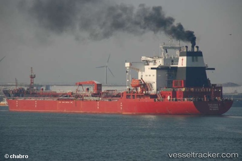
 REMI
REMI
Current Status
Where is the vessel?
REMI is currently in 365 nm S of Abakaliki, based on AIS data received about 1h ago.
Latest AIS update:
Current position: 0.59660° N, 88.01730° E (365 nm S of Abakaliki)
Average speed (last 7 days): Loading…
Average speed (last 30 days): Loading…
Vessel profile: REMI is a Crude Oil Tanker with dimensions m x m.
This page combines live AIS, route history, probable destination signals, nearby traffic, and port activity for practical vessel monitoring.
The current position of vessel REMI is 0.59660 lat / 88.01730 lng. Updated: 2026-05-15 19:43:16 UTCNearest reference points:
- Open sea, approx. 402 nm off the nearest listed port
- Open sea, approx. 403 nm off the nearest listed port
- Open sea, approx. 405 nm off the nearest listed port
Currently sailing under the flag of Nigeria ![]()
REMI built in 1990 year
Deadweight:
40392 tDetails:
Live Vessel REMI Analytics (details, animations, etc.)
Recent AIS points (UTC):
2026-05-15 17:10:34 UTC · 0.06890, 87.43990 · SOG 17.5 kn · COG 55°2026-05-15 18:24:54 UTC · 0.42790, 87.82200 · SOG 17.3 kn · COG 44°
2026-05-15 19:43:16 UTC · 0.59660, 88.01730 · SOG 16.7 kn · COG 49°
2026-05-15 19:43:16 UTC · 0.59660, 88.01730 · SOG 16.7 kn · COG 49°