 vesseltracker.com
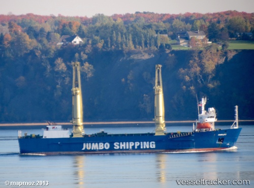
 MAHER
MAHER
Current Status
Where is the vessel?
MAHER is currently in Near Al Fujayrah, based on AIS data received less than 1h ago.
Latest AIS update:
Current position: 25.18467° N, 56.36429° E (Near Al Fujayrah)
Average speed (last 7 days): Loading…
Average speed (last 30 days): Loading…
Vessel profile: MAHER is a Heavy Load Carrier with dimensions m x m.
This page combines live AIS, route history, probable destination signals, nearby traffic, and port activity for practical vessel monitoring.
The current position of vessel MAHER is 25.18467 lat / 56.36429 lng. Updated: 2026-05-01 00:18:22 UTCNearest reference points:
- Near Fujairah
- Near KHORFAKKAN
- Near Offshore Fujairah
Currently sailing under the flag of Comoros ![]()
Details:
Live Vessel MAHER Analytics (details, animations, etc.)
Recent AIS points (UTC):
2026-04-30 19:45:18 UTC · 25.18470, 56.36433 · SOG 0 kn · COG -1°2026-04-30 22:24:19 UTC · 25.18469, 56.36431 · SOG 0 kn · COG -1°
2026-04-30 22:54:19 UTC · 25.18468, 56.36431 · SOG 0 kn · COG -1°
2026-05-01 00:18:22 UTC · 25.18467, 56.36429 · SOG 0 kn · COG -1°