 vesseltracker.com
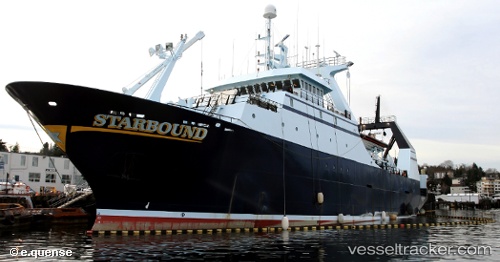
 Starbound
Current Status
Where is the vessel?
Starbound is currently in Near Anacortes, based on AIS data received less than 1h ago.
Latest AIS update:
Current position: 48.52227° N, 122.61205° W (Near Anacortes)
Average speed (last 7 days): Loading…
Average speed (last 30 days): Loading…
Vessel profile: Starbound is a Fishing Vessel with dimensions 92m x 14m.
This page combines live AIS, route history, probable destination signals, nearby traffic, and port activity for practical vessel monitoring.
The current position of vessel Starbound is 48.52227 lat / -122.61205 lng. Updated: 2026-05-02 22:40:36 UTCNearest reference points:
- Near Anacortes
- Near Bellingham
- Near ORCAS
Currently sailing under the flag of USA ![]()
Details:
Live Vessel Starbound Analytics (details, animations, etc.)
Recent AIS points (UTC):
2026-05-02 19:41:29 UTC · 48.52220, -122.61200 · SOG 0 kn · COG 270°2026-05-02 20:01:36 UTC · 48.52226, -122.61208 · SOG 0 kn · COG 269°
2026-05-02 22:19:33 UTC · 48.52222, -122.61207 · SOG 0 kn · COG 269°
2026-05-02 22:40:36 UTC · 48.52227, -122.61205 · SOG 0 kn · COG 270°