 vesseltracker.com
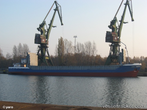
Monika
Current StatusWhere is the vessel?
Monika is currently in Near Contecar, based on AIS data received less than 1h ago.
Latest AIS update:
Current position: 10.37021° N, 75.50903° W (Near Contecar)
Average speed (last 7 days): Loading…
Average speed (last 30 days): Loading…
Vessel profile: Monika is a Multi Purpose Carrier with dimensions 12m x 82m.
This page combines live AIS, route history, probable destination signals, nearby traffic, and port activity for practical vessel monitoring.
The current position of vessel Monika is 10.37021 lat / -75.50903 lng. Updated: 2026-04-28 21:23:28 UTCNearest reference points:
- Near Contecar
- Near Sociedad Portuaria Regional Cartagena
- Near Santa Marta
Details:
Live Vessel Monika Analytics (details, animations, etc.)
Recent AIS points (UTC):
2026-04-28 16:26:23 UTC · 10.37000, -75.50833 · SOG 0 kn · COG -1°2026-04-28 17:26:23 UTC · 10.37023, -75.50902 · SOG 0 kn · COG 113°
2026-04-28 19:38:24 UTC · 10.37020, -75.50905 · SOG 0 kn · COG 113°
2026-04-28 21:23:28 UTC · 10.37021, -75.50903 · SOG 0 kn · COG 111°