 vesseltracker.com
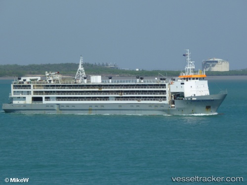
Hannoud o
Current StatusWhere is the vessel?
Hannoud o is currently in 20 nm S of Rejected, based on AIS data received less than 1h ago.
Latest AIS update:
Current position: 37.14500° N, 0.92333° W (20 nm S of Rejected)
Average speed (last 7 days): Loading…
Average speed (last 30 days): Loading…
Vessel profile: Hannoud o is a Livestock Carrier with dimensions 16m x 91m.
This page combines live AIS, route history, probable destination signals, nearby traffic, and port activity for practical vessel monitoring.
The current position of vessel Hannoud o is 37.14500 lat / -0.92333 lng. Updated: 2026-05-14 22:51:41 UTCNearest reference points:
- 20 nm S of Rejected
- 23 nm S of Rejected
- 25 nm SE of AGUILAS
Details:
Live Vessel Hannoud o Analytics (details, animations, etc.)
Recent AIS points (UTC):
2026-05-14 14:12:04 UTC · 37.59160, -0.97462 · SOG 0 kn · COG 30°2026-05-14 19:45:01 UTC · 37.59176, -0.97488 · SOG 0 kn · COG 24°
2026-05-14 22:18:41 UTC · 37.22667, -0.94167 · SOG 8 kn · COG -1°
2026-05-14 22:51:41 UTC · 37.14500, -0.92333 · SOG 9 kn · COG -1°