 vesseltracker.com
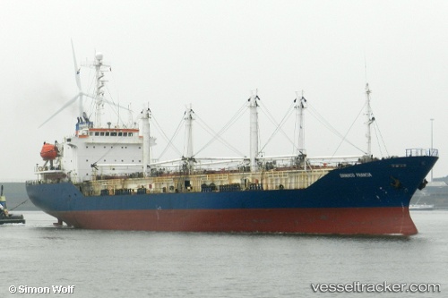
Sein Sky
Current StatusWhere is the vessel?
Sein Sky is currently in Near GENERAL SANTOS, based on AIS data received about 4h ago.
Latest AIS update:
Current position: 6.02909° N, 125.14505° E (Near GENERAL SANTOS)
Average speed (last 7 days): Loading…
Average speed (last 30 days): Loading…
Vessel profile: Sein Sky is a Refrigerated Cargo Ship with dimensions 22m x 82m.
This page combines live AIS, route history, probable destination signals, nearby traffic, and port activity for practical vessel monitoring.
The current position of vessel Sein Sky is 6.02909 lat / 125.14505 lng. Updated: 2026-04-29 23:59:09 UTCNearest reference points:
- Near DICT / SVT
- 48 nm N of Melonguanne
Details:
Live Vessel Sein Sky Analytics (details, animations, etc.)
Recent AIS points (UTC):
2026-04-29 22:20:09 UTC · 6.02912, 125.14501 · SOG 0 kn · COG 184°2026-04-29 23:59:09 UTC · 6.02909, 125.14505 · SOG 0 kn · COG 180°
2026-04-29 23:59:09 UTC · 6.02909, 125.14505 · SOG 0 kn · COG 180°
2026-04-29 23:59:09 UTC · 6.02909, 125.14505 · SOG 0 kn · COG 180°