 vesseltracker.com
 ANNA
ANNA
Current Status
Where is the vessel?
ANNA is currently in 27 nm SE of Larnaca, based on AIS data received about 1h ago.
Latest AIS update:
Current position: 34.52252° N, 33.92401° E (27 nm SE of Larnaca)
Average speed (last 7 days): Loading…
Average speed (last 30 days): Loading…
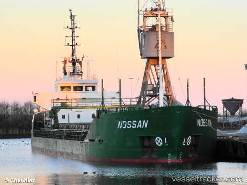
Vessel profile: ANNA is a General Cargo with dimensions m x m.
This page combines live AIS, route history, probable destination signals, nearby traffic, and port activity for practical vessel monitoring.
The current position of vessel ANNA is 34.52252 lat / 33.92401 lng. Updated: 2026-05-15 14:00:51 UTCNearest reference points:
- 31 nm SE of Vasilikos
- Near Larnaca
- 17 nm S of Vasilikos
Currently sailing under the flag of Saint Kitts and Nevis ![]()
Details:
Live Vessel ANNA Analytics (details, animations, etc.)
Recent AIS points (UTC):
2026-05-15 10:27:57 UTC · 34.22275, 34.10959 · SOG 7.3 kn · COG 329°2026-05-15 11:42:47 UTC · 34.35221, 34.03903 · SOG 6.6 kn · COG 329°
2026-05-15 13:40:27 UTC · 34.50332, 33.94109 · SOG 3.9 kn · COG 310°
2026-05-15 14:00:51 UTC · 34.52252, 33.92401 · SOG 3.7 kn · COG 295°