 vesseltracker.com
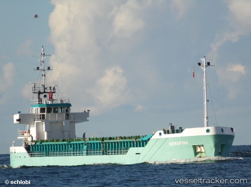
Dona Mimi
Current StatusWhere is the vessel?
Dona Mimi is currently in 40 nm NW of PUERTO CHACABUCO, based on AIS data received about 1h ago.
Latest AIS update:
Current position: 45.14049° S, 73.64340° W (40 nm NW of PUERTO CHACABUCO)
Average speed (last 7 days): Loading…
Average speed (last 30 days): Loading…
Vessel profile: Dona Mimi is a General Cargo Ship with dimensions 13m x 82m.
This page combines live AIS, route history, probable destination signals, nearby traffic, and port activity for practical vessel monitoring.
The current position of vessel Dona Mimi is -45.14049 lat / -73.64340 lng. Updated: 2026-05-15 13:44:39 UTCNearest reference points:
- 68 nm W of Puerto Chacabuco
- Near Melinka
- Near Quellón (Puerto Quellón)
Details:
Live Vessel Dona Mimi Analytics (details, animations, etc.)
Recent AIS points (UTC):
2026-05-15 10:49:59 UTC · -45.64719, -73.85056 · SOG 10.4 kn · COG 14°2026-05-15 11:24:07 UTC · -45.55079, -73.80864 · SOG 11.1 kn · COG 26°
2026-05-15 13:44:39 UTC · -45.14049, -73.64340 · SOG 11.6 kn · COG 8°
2026-05-15 13:44:39 UTC · -45.14049, -73.64340 · SOG 11.6 kn · COG 8°