 vesseltracker.com
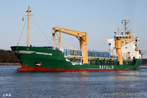
 MANLAND
Current Status
Where is the vessel?
MANLAND is currently in Near South Riding Point, based on AIS data received less than 1h ago.
Latest AIS update:
Current position: 26.62333° N, 78.22833° W (Near South Riding Point)
Average speed (last 7 days): Loading…
Average speed (last 30 days): Loading…
Vessel profile: MANLAND is a General Cargo with dimensions m x m.
This page combines live AIS, route history, probable destination signals, nearby traffic, and port activity for practical vessel monitoring.
The current position of vessel MANLAND is 26.62333 lat / -78.22833 lng. Updated: 2026-05-14 00:17:52 UTCNearest reference points:
- Near Green Turtle Cay
- 44 nm S of Freeport
- 27 nm SE of Gorda Cay
Currently sailing under the flag of Saint Vincent and the Grenadines ![]()
Details:
Live Vessel MANLAND Analytics (details, animations, etc.)
Recent AIS points (UTC):
2026-05-13 19:44:52 UTC · 26.62333, -78.22833 · SOG 0 kn · COG -1°2026-05-13 21:38:47 UTC · 26.62333, -78.22833 · SOG 0 kn · COG -1°
2026-05-13 23:02:48 UTC · 26.62333, -78.22833 · SOG 0 kn · COG -1°
2026-05-14 00:17:52 UTC · 26.62333, -78.22833 · SOG 0 kn · COG -1°