 vesseltracker.com
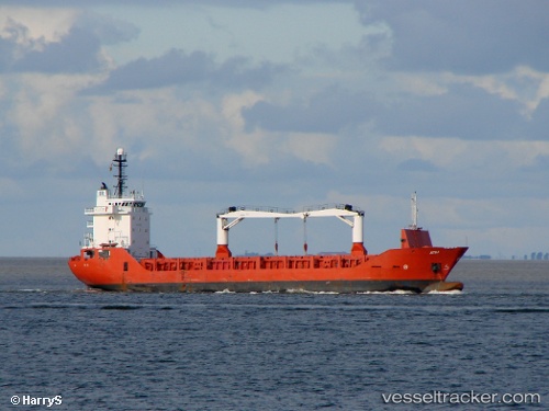
 LK SAILING
Current Status
Where is the vessel?
LK SAILING is currently in 75 nm W of Gageohyangri, based on AIS data received less than 1h ago.
Latest AIS update:
Current position: 33.68176° N, 123.65059° E (75 nm W of Gageohyangri)
Average speed (last 7 days): Loading…
Average speed (last 30 days): Loading…
Vessel profile: LK SAILING is a General Cargo with dimensions m x m.
This page combines live AIS, route history, probable destination signals, nearby traffic, and port activity for practical vessel monitoring.
The current position of vessel LK SAILING is 33.68176 lat / 123.65059 lng. Updated: 2026-05-14 09:59:04 UTCNearest reference points:
- 82 nm W of Gageohyangri
- 91 nm W of Gageohyangri
- 99 nm NE of Yangkou Pt
Currently sailing under the flag of Comoros ![]()
Details:
Live Vessel LK SAILING Analytics (details, animations, etc.)
Recent AIS points (UTC):
2026-05-14 06:02:12 UTC · 34.12607, 123.92391 · SOG 7 kn · COG 206°2026-05-14 07:13:52 UTC · 33.99490, 123.84360 · SOG 7 kn · COG 206°
2026-05-14 07:13:52 UTC · 33.99490, 123.84360 · SOG 7 kn · COG 206°
2026-05-14 09:59:04 UTC · 33.68176, 123.65059 · SOG 7 kn · COG 207°