 vesseltracker.com
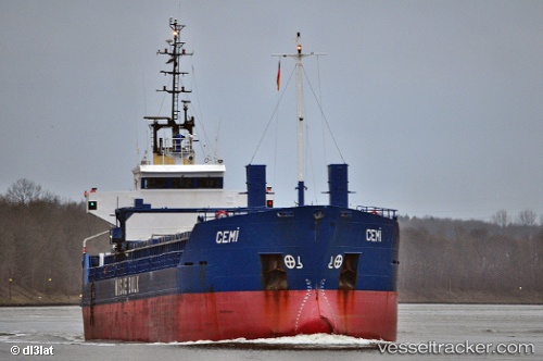
 CEMILE
Current Status
Where is the vessel?
CEMILE is currently in 16 nm W of Potamos Antikithera, based on AIS data received less than 1h ago.
Latest AIS update:
Current position: 35.79008° N, 22.98285° E (16 nm W of Potamos Antikithera)
Average speed (last 7 days): Loading…
Average speed (last 30 days): Loading…
Vessel profile: CEMILE is a General Cargo Ship with dimensions 88m x 13m.
This page combines live AIS, route history, probable destination signals, nearby traffic, and port activity for practical vessel monitoring.
The current position of vessel CEMILE is 35.79008 lat / 22.98285 lng. Updated: 2026-05-14 12:17:22 UTCNearest reference points:
- Near Kythira
- 17 nm S of Areópolis
- 59 nm W of Paleochora
Currently sailing under the flag of Vanuatu ![]()
CEMILE built in 1991 year
Deadweight:
4270 tDetails:
Live Vessel CEMILE Analytics (details, animations, etc.)
Recent AIS points (UTC):
2026-05-14 07:25:12 UTC · 35.77870, 22.03090 · SOG 9.4 kn · COG 87°2026-05-14 09:35:42 UTC · 35.77258, 22.45597 · SOG 9.7 kn · COG 86°
2026-05-14 10:07:13 UTC · 35.77593, 22.56005 · SOG 9.5 kn · COG 85°
2026-05-14 12:17:22 UTC · 35.79008, 22.98285 · SOG 9.3 kn · COG 89°