 vesseltracker.com
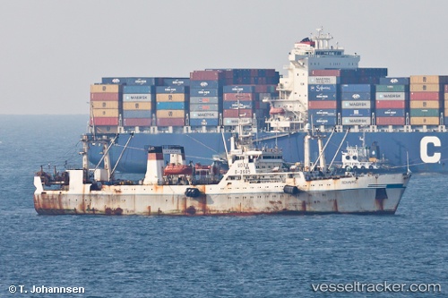
Polluks
Current StatusWhere is the vessel?
Polluks is currently in 46 nm SW of Grossriedenthal, based on AIS data received about 1h ago.
Latest AIS update:
Current position: 47.94833° N, 154.52667° E (46 nm SW of Grossriedenthal)
Average speed (last 7 days): Loading…
Average speed (last 30 days): Loading…
Vessel profile: Polluks is a Fishing Vessel with dimensions 16m x 104m.
This page combines live AIS, route history, probable destination signals, nearby traffic, and port activity for practical vessel monitoring.
The current position of vessel Polluks is 47.94833 lat / 154.52667 lng. Updated: 2026-05-13 20:00:08 UTCCurrently sailing under the flag of
Polluks built in 0 year
Deadweight:
0 tDetails:
Live Vessel Polluks Analytics (details, animations, etc.)
Recent AIS points (UTC):
2026-05-13 16:39:19 UTC · 48.04063, 154.72015 · SOG 4.5 kn · COG 203°2026-05-13 17:45:09 UTC · 47.98167, 154.63667 · SOG 4 kn · COG -1°
2026-05-13 19:27:15 UTC · 47.93667, 154.49500 · SOG 1 kn · COG -1°
2026-05-13 20:00:08 UTC · 47.94833, 154.52667 · SOG 8 kn · COG -1°