 vesseltracker.com
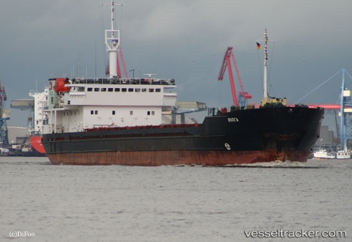
Volgograd
Current StatusWhere is the vessel?
Volgograd is currently in 10 nm SW of Taganrog, based on AIS data received about 9d ago.
Latest AIS update:
Current position: 47.08233° N, 38.76636° E (10 nm SW of Taganrog)
Average speed (last 7 days): Loading…
Average speed (last 30 days): Loading…
Vessel profile: Volgograd is a Multi Purpose Carrier with dimensions 17m x 140m.
This page combines live AIS, route history, probable destination signals, nearby traffic, and port activity for practical vessel monitoring.
The current position of vessel Volgograd is 47.08233 lat / 38.76636 lng. Updated: 2026-05-06 13:43:44 UTCNearest reference points:
- 16 nm S of Taganrog
- 18 nm SW of Taganrog
- 19 nm SW of Taganrog
Details:
Live Vessel Volgograd Analytics (details, animations, etc.)
Recent AIS points (UTC):
2026-05-06 13:43:44 UTC · 47.08233, 38.76636 · SOG 10.6 kn · COG 272°2026-05-06 13:43:44 UTC · 47.08233, 38.76636 · SOG 10.6 kn · COG 272°
2026-05-06 13:43:44 UTC · 47.08233, 38.76636 · SOG 10.6 kn · COG 272°
2026-05-06 13:43:44 UTC · 47.08233, 38.76636 · SOG 10.6 kn · COG 272°