 vesseltracker.com
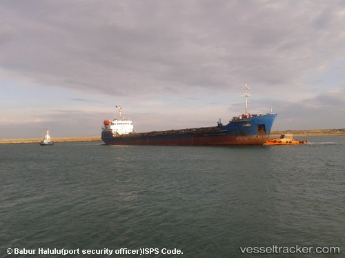
 KAMA
KAMA
Current Status
Where is the vessel?
KAMA is currently in 25 nm S of Kondopoga, based on AIS data received about 541d ago.
Latest AIS update:
Current position: 61.79545° N, 34.42410° E (25 nm S of Kondopoga)
Average speed (last 7 days): Loading…
Average speed (last 30 days): Loading…
Vessel profile: KAMA is a Ore Oil Carrier with dimensions 13m x 119m.
This page combines live AIS, route history, probable destination signals, nearby traffic, and port activity for practical vessel monitoring.
The current position of vessel KAMA is 61.79545 lat / 34.42410 lng. Updated: 2024-11-19 05:30:31 UTCNearest reference points:
- 41 nm S of Oleniy Ostrov
- 15 nm W of Podporozh'ye
- 38 nm E of Podporozh'ye
Currently sailing under the flag of Russia ![]()
KAMA built in 1992 year
Deadweight:
3280 tDetails:
Live Vessel KAMA Analytics (details, animations, etc.)
Recent AIS points (UTC):
2024-11-19 05:30:31 UTC · 61.79545, 34.42410 · SOG 4.4 kn · COG -1°