 vesseltracker.com
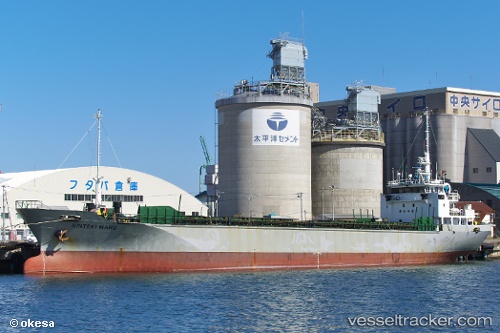
Kinteki Maru
Current StatusWhere is the vessel?
Kinteki Maru is currently in Near Yokkaichi, based on AIS data received less than 1h ago.
Latest AIS update:
Current position: 34.91197° N, 136.68140° E (Near Yokkaichi)
Average speed (last 7 days): Loading…
Average speed (last 30 days): Loading…
Vessel profile: Kinteki Maru is a General Cargo Ship with dimensions 12m x 75m.
This page combines live AIS, route history, probable destination signals, nearby traffic, and port activity for practical vessel monitoring.
The current position of vessel Kinteki Maru is 34.91197 lat / 136.68140 lng. Updated: 2026-05-01 21:59:21 UTCNearest reference points:
- Near Yokkaichi
- Near Nagoya
- Near Kinuura
Details:
Live Vessel Kinteki Maru Analytics (details, animations, etc.)
Recent AIS points (UTC):
2026-05-01 19:29:19 UTC · 34.91197, 136.68175 · SOG 0.1 kn · COG 354°2026-05-01 19:53:01 UTC · 34.91199, 136.68179 · SOG 0.2 kn · COG 351°
2026-05-01 21:59:21 UTC · 34.91197, 136.68140 · SOG 0.1 kn · COG 22°
2026-05-01 21:59:21 UTC · 34.91197, 136.68140 · SOG 0.1 kn · COG 22°