 vesseltracker.com
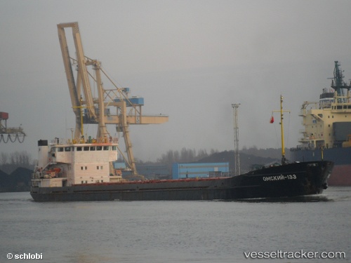
 Omskiy 133
Current Status
Where is the vessel?
Omskiy 133 is currently in Near Mersin, based on AIS data received less than 1h ago.
Latest AIS update:
Current position: 36.67524° N, 34.66149° E (Near Mersin)
Average speed (last 7 days): Loading…
Average speed (last 30 days): Loading…
Vessel profile: Omskiy 133 is a General Cargo Ship with dimensions 108m x 14m.
This page combines live AIS, route history, probable destination signals, nearby traffic, and port activity for practical vessel monitoring.
The current position of vessel Omskiy 133 is 36.67524 lat / 34.66149 lng. Updated: 2026-04-28 14:18:33 UTCNearest reference points:
- Near Mersin
- Near Mersin-Free Zone
- Near YUMURTALIC
Currently sailing under the flag of Russia ![]()
Omskiy 133 built in 1988 year
Deadweight:
3070 tDetails:
Live Vessel Omskiy 133 Analytics (details, animations, etc.)
Recent AIS points (UTC):
2026-04-28 08:51:24 UTC · 36.10531, 34.12760 · SOG 7 kn · COG 68°2026-04-28 12:07:15 UTC · 36.43263, 34.46074 · SOG 7.8 kn · COG 37°
2026-04-28 13:06:33 UTC · 36.53836, 34.55646 · SOG 8.1 kn · COG 37°
2026-04-28 14:18:33 UTC · 36.67524, 34.66149 · SOG 8 kn · COG 4°