 vesseltracker.com
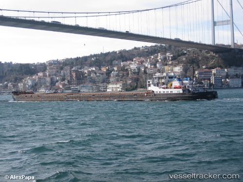
Oltenitsa
Current StatusWhere is the vessel?
Oltenitsa is currently in Near Kherson, based on AIS data received about 1531d ago.
Latest AIS update:
Current position: 46.62046° N, 32.59883° E (Near Kherson)
Average speed (last 7 days): Loading…
Average speed (last 30 days): Loading…
Vessel profile: Oltenitsa is a General Cargo Ship with dimensions 16m x 138m.
This page combines live AIS, route history, probable destination signals, nearby traffic, and port activity for practical vessel monitoring.
The current position of vessel Oltenitsa is 46.62046 lat / 32.59883 lng. Updated: 2022-03-04 07:20:06 UTCNearest reference points:
- Near Olviia
- 45 nm W of Krasne
- Near Illichivs’K
Details:
Live Vessel Oltenitsa Analytics (details, animations, etc.)
Recent AIS points (UTC):
2022-03-04 07:20:06 UTC · 46.62046, 32.59883 · SOG 0.3 kn · COG 0°