 vesseltracker.com
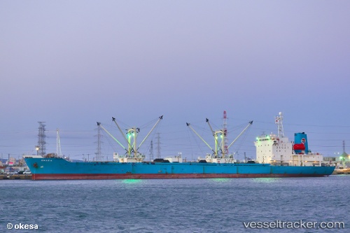
Dhara
Current StatusWhere is the vessel?
Dhara is currently in Near Gamcheon/Busan, based on AIS data received less than 1h ago.
Latest AIS update:
Current position: 35.06295° N, 129.00885° E (Near Gamcheon/Busan)
Average speed (last 7 days): Loading…
Average speed (last 30 days): Loading…
Vessel profile: Dhara is a Refrigerated Cargo Ship with dimensions 19m x 146m.
This page combines live AIS, route history, probable destination signals, nearby traffic, and port activity for practical vessel monitoring.
The current position of vessel Dhara is 35.06295 lat / 129.00885 lng. Updated: 2026-05-14 06:27:49 UTCNearest reference points:
- Near Gamcheon/Busan
- Near Busan
- Near BUSAN NEW PORT
Details:
Live Vessel Dhara Analytics (details, animations, etc.)
Recent AIS points (UTC):
2026-05-14 01:48:49 UTC · 35.06293, 129.00887 · SOG 0 kn · COG 85°2026-05-14 03:39:54 UTC · 35.06293, 129.00887 · SOG 0 kn · COG 85°
2026-05-14 04:24:55 UTC · 35.06294, 129.00887 · SOG 0 kn · COG 85°
2026-05-14 06:27:49 UTC · 35.06295, 129.00885 · SOG 0 kn · COG 85°