 vesseltracker.com
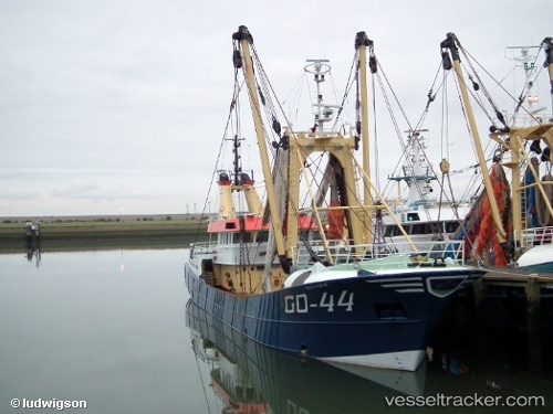
 Go 44 Quo Vadis
Current Status
Where is the vessel?
Go 44 Quo Vadis is currently in Near Bullu, based on AIS data received about 1h ago.
Latest AIS update:
Current position: 57.02401° N, 24.12294° E (Near Bullu)
Average speed (last 7 days): Loading…
Average speed (last 30 days): Loading…
Vessel profile: Go 44 Quo Vadis is a Fishing Vessel with dimensions 39m x 8m.
This page combines live AIS, route history, probable destination signals, nearby traffic, and port activity for practical vessel monitoring.
The current position of vessel Go 44 Quo Vadis is 57.02401 lat / 24.12294 lng. Updated: 2026-05-02 08:04:20 UTCNearest reference points:
- Near Riga
- Near Bullu
- Near Ristna
Currently sailing under the flag of Netherlands ![]()
Go 44 Quo Vadis built in 1990 year
Details:
Live Vessel Go 44 Quo Vadis Analytics (details, animations, etc.)
Recent AIS points (UTC):
2026-05-02 04:37:20 UTC · 57.02400, 24.12292 · SOG 0 kn · COG 58°2026-05-02 05:58:20 UTC · 57.02401, 24.12294 · SOG 0 kn · COG 58°
2026-05-02 07:07:20 UTC · 57.02401, 24.12293 · SOG 0 kn · COG 57°
2026-05-02 08:04:20 UTC · 57.02401, 24.12294 · SOG 0 kn · COG 57°