 vesseltracker.com
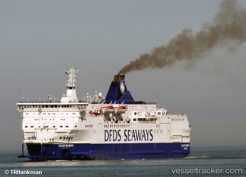
 ISLE OF INNISFREE
Current Status
Where is the vessel?
ISLE OF INNISFREE is currently in Near Milford Haven, based on AIS data received less than 1h ago.
Latest AIS update:
Current position: 51.70037° N, 5.02768° W (Near Milford Haven)
Average speed (last 7 days): Loading…
Average speed (last 30 days): Loading…
Vessel profile: ISLE OF INNISFREE is a Passenger/Ro-Ro Ship (vehicles) with dimensions 162m x 34m.
This page combines live AIS, route history, probable destination signals, nearby traffic, and port activity for practical vessel monitoring.
The current position of vessel ISLE OF INNISFREE is 51.70037 lat / -5.02768 lng. Updated: 2026-05-15 13:05:39 UTCNearest reference points:
- Near Black Pill
- Near Landore
- 10 nm NW of Grampound
Currently sailing under the flag of Cyprus ![]()
ISLE OF INNISFREE built in 1992 year
Deadweight:
3832 tDetails:
Live Vessel ISLE OF INNISFREE Analytics (details, animations, etc.)
Recent AIS points (UTC):
2026-05-15 09:26:03 UTC · 52.25378, -6.33734 · SOG 0 kn · COG 147°2026-05-15 10:06:29 UTC · 52.23507, -6.25053 · SOG 20.4 kn · COG 117°
2026-05-15 11:47:17 UTC · 51.84923, -5.60195 · SOG 20.2 kn · COG 124°
2026-05-15 13:05:39 UTC · 51.70037, -5.02768 · SOG 12.7 kn · COG 92°