 vesseltracker.com
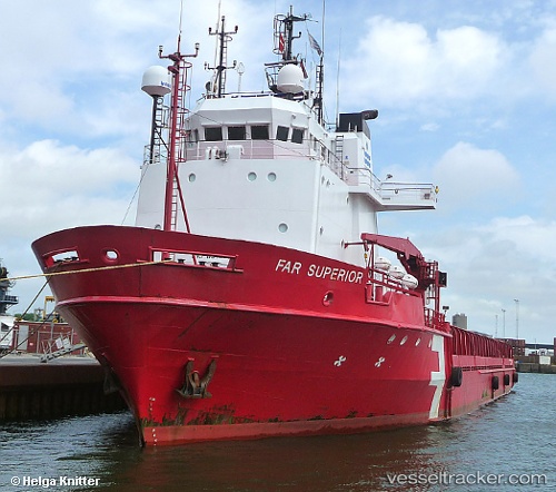
Sea Meadow 16
Current StatusWhere is the vessel?
Sea Meadow 16 is currently in Near Santiago De Cuba, based on AIS data received about 1d ago.
Latest AIS update:
Current position: 20.01833° N, 75.83667° W (Near Santiago De Cuba)
Average speed (last 7 days): Loading…
Average speed (last 30 days): Loading…
Vessel profile: Sea Meadow 16 is a Offshore Tug Supply Ship with dimensions 18m x 92m.
This page combines live AIS, route history, probable destination signals, nearby traffic, and port activity for practical vessel monitoring.
The current position of vessel Sea Meadow 16 is 20.01833 lat / -75.83667 lng. Updated: 2026-05-12 12:41:44 UTCNearest reference points:
- 16 nm SE of Ceiba Hueca
- 36 nm E of Cayo Coco
Details:
Live Vessel Sea Meadow 16 Analytics (details, animations, etc.)
Recent AIS points (UTC):
2026-05-12 12:41:44 UTC · 20.01833, -75.83667 · SOG 0 kn · COG -1°2026-05-12 12:41:44 UTC · 20.01833, -75.83667 · SOG 0 kn · COG -1°
2026-05-12 12:41:44 UTC · 20.01833, -75.83667 · SOG 0 kn · COG -1°
2026-05-12 12:41:44 UTC · 20.01833, -75.83667 · SOG 0 kn · COG -1°