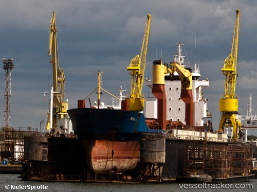
Red Rover
Current StatusWhere is the vessel?
Red Rover is currently in Near Tanjung Perak, based on AIS data received about 14h ago.
Latest AIS update:
Current position: 7.19973° S, 112.72525° E (Near Tanjung Perak)
Average speed (last 7 days): Loading…
Average speed (last 30 days): Loading…
Vessel profile: Red Rover is a General Cargo Ship with dimensions 16m x 105m.
This page combines live AIS, route history, probable destination signals, nearby traffic, and port activity for practical vessel monitoring.
The current position of vessel Red Rover is -7.19973 lat / 112.72525 lng. Updated: 2026-05-23 12:13:56 UTCNearest reference points:
- Near Tanjung Perak
- Near Tanjong Perak
- Near Kalianak Barat
Details:
Live Vessel Red Rover Analytics (details, animations, etc.)
Recent AIS points (UTC):
2026-05-23 08:13:10 UTC · -7.19972, 112.72525 · SOG 0 kn · COG -1°2026-05-23 10:04:55 UTC · -7.19974, 112.72523 · SOG 0 kn · COG -1°
2026-05-23 10:25:57 UTC · -7.19971, 112.72527 · SOG 0 kn · COG -1°
2026-05-23 12:13:56 UTC · -7.19973, 112.72525 · SOG 0 kn · COG -1°