 vesseltracker.com
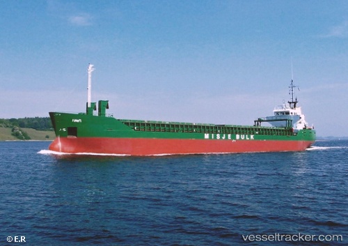
 NOUR 1
Current Status
Where is the vessel?
NOUR 1 is currently in 28 nm NE of Rashid, based on AIS data received about 2h ago.
Latest AIS update:
Current position: 31.73376° N, 30.77617° E (28 nm NE of Rashid)
Average speed (last 7 days): Loading…
Average speed (last 30 days): Loading…
Vessel profile: NOUR 1 is a General Cargo with dimensions m x m.
This page combines live AIS, route history, probable destination signals, nearby traffic, and port activity for practical vessel monitoring.
The current position of vessel NOUR 1 is 31.73376 lat / 30.77617 lng. Updated: 2026-04-28 19:26:51 UTCNearest reference points:
- Near Damietta
- Near Alexandria
- Near EL DEKHEILA
Currently sailing under the flag of Guinea ![]()
Details:
Live Vessel NOUR 1 Analytics (details, animations, etc.)
Recent AIS points (UTC):
2026-04-28 13:53:53 UTC · 31.43982, 29.84973 · SOG 9.5 kn · COG -1°2026-04-28 18:01:31 UTC · 31.67056, 30.53205 · SOG 8.9 kn · COG -1°
2026-04-28 19:05:12 UTC · 31.71428, 30.71520 · SOG 9.3 kn · COG -1°
2026-04-28 19:26:51 UTC · 31.73376, 30.77617 · SOG 9.4 kn · COG -1°