 vesseltracker.com
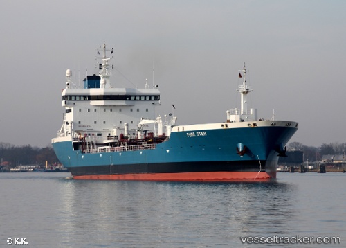
 BURAAQ
Current Status
Where is the vessel?
BURAAQ is currently in 89 nm W of Al Qunfudah, based on AIS data received about 1h ago.
Latest AIS update:
Current position: 18.64762° N, 39.58783° E (89 nm W of Al Qunfudah)
Average speed (last 7 days): Loading…
Average speed (last 30 days): Loading…
Vessel profile: BURAAQ is a Oil Products Tanker with dimensions m x m.
This page combines live AIS, route history, probable destination signals, nearby traffic, and port activity for practical vessel monitoring.
The current position of vessel BURAAQ is 18.64762 lat / 39.58783 lng. Updated: 2026-05-14 00:09:54 UTCNearest reference points:
- 99 nm SW of Al Qunfudah
- 53 nm SW of SHUAIBAH
- 92 nm SW of Al Qahmah
Currently sailing under the flag of Comoros ![]()
Details:
Live Vessel BURAAQ Analytics (details, animations, etc.)
Recent AIS points (UTC):
2026-05-13 19:54:37 UTC · 18.87333, 39.43333 · SOG 4 kn · COG -1°2026-05-13 21:33:41 UTC · 18.78500, 39.49333 · SOG 4 kn · COG -1°
2026-05-13 22:42:36 UTC · 18.72500, 39.53500 · SOG 4 kn · COG -1°
2026-05-14 00:09:54 UTC · 18.64762, 39.58783 · SOG 4.2 kn · COG 147°