 vesseltracker.com
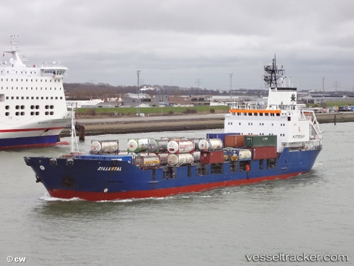
 LADY KHADIJA
Current Status
Where is the vessel?
LADY KHADIJA is currently in 19 nm SW of Filiatrá, based on AIS data received less than 1h ago.
Latest AIS update:
Current position: 36.97561° N, 21.24084° E (19 nm SW of Filiatrá)
Average speed (last 7 days): Loading…
Average speed (last 30 days): Loading…
Vessel profile: LADY KHADIJA is a General Cargo with dimensions m x m.
This page combines live AIS, route history, probable destination signals, nearby traffic, and port activity for practical vessel monitoring.
The current position of vessel LADY KHADIJA is 36.97561 lat / 21.24084 lng. Updated: 2026-05-15 00:00:35 UTCNearest reference points:
- 23 nm S of Methoni
- Near Káto Achaïa
- Near MESSOLOGGI
Currently sailing under the flag of Sierra Leone ![]()
Details:
Live Vessel LADY KHADIJA Analytics (details, animations, etc.)
Recent AIS points (UTC):
2026-05-14 19:48:55 UTC · 37.51237, 20.73355 · SOG 9.9 kn · COG 153°2026-05-14 21:09:36 UTC · 37.31107, 20.85948 · SOG 9.9 kn · COG 154°
2026-05-14 22:36:05 UTC · 37.13223, 21.04125 · SOG 9.7 kn · COG 136°
2026-05-15 00:00:35 UTC · 36.97561, 21.24084 · SOG 9.3 kn · COG 137°