 vesseltracker.com
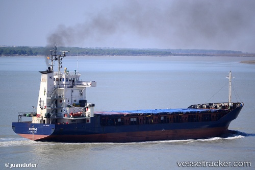
 UNIWIND
Current Status
Where is the vessel?
UNIWIND is currently in Near Constanta, based on AIS data received about 1h ago.
Latest AIS update:
Current position: 44.16843° N, 28.65601° E (Near Constanta)
Average speed (last 7 days): Loading…
Average speed (last 30 days): Loading…
Vessel profile: UNIWIND is a General Cargo Ship with dimensions m x m.
This page combines live AIS, route history, probable destination signals, nearby traffic, and port activity for practical vessel monitoring.
The current position of vessel UNIWIND is 44.16843 lat / 28.65601 lng. Updated: 2026-03-31 11:23:24 UTCNearest reference points:
- Near Constanta
- Near MIDIA
- Near Ovidiu
Currently sailing under the flag of St.Kitts and Nevis ![]()
UNIWIND built in 1990 year
Deadweight:
3000 tDetails:
Live Vessel UNIWIND Analytics (details, animations, etc.)
Recent AIS points (UTC):
2026-03-31 05:40:37 UTC · 44.15339, 28.74200 · SOG 0.1 kn · COG 307°2026-03-31 08:15:05 UTC · 44.10599, 28.70393 · SOG 6.6 kn · COG 334°
2026-03-31 09:53:25 UTC · 44.16843, 28.65598 · SOG 0 kn · COG 255°
2026-03-31 11:23:24 UTC · 44.16843, 28.65601 · SOG 0 kn · COG 254°