 vesseltracker.com
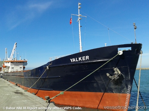
 OMSKIY 119
Current Status
Where is the vessel?
OMSKIY 119 is currently in 24 nm SE of Astrakhan, based on AIS data received about 1h ago.
Latest AIS update:
Current position: 46.04682° N, 48.39581° E (24 nm SE of Astrakhan)
Average speed (last 7 days): Loading…
Average speed (last 30 days): Loading…
Vessel profile: OMSKIY 119 is a General Cargo Ship with dimensions 108m x 108m.
This page combines live AIS, route history, probable destination signals, nearby traffic, and port activity for practical vessel monitoring.
The current position of vessel OMSKIY 119 is 46.04682 lat / 48.39581 lng. Updated: 2026-05-13 22:23:05 UTCNearest reference points:
- Near Krasnyye Barrikady
- Near Astrakhan
- 16 nm SE of Olya
Currently sailing under the flag of Russia ![]()
OMSKIY 119 built in 1980 year
Deadweight:
3157 tDetails:
Live Vessel OMSKIY 119 Analytics (details, animations, etc.)
Recent AIS points (UTC):
2026-05-13 18:59:48 UTC · 46.52868, 48.03227 · SOG 7.5 kn · COG 26°2026-05-13 21:24:53 UTC · 46.12029, 47.98332 · SOG 7.8 kn · COG 26°
2026-05-13 22:23:05 UTC · 46.04682, 48.39581 · SOG 7.5 kn · COG 26°
2026-05-13 22:23:05 UTC · 46.04682, 48.39581 · SOG 7.5 kn · COG 26°