 vesseltracker.com
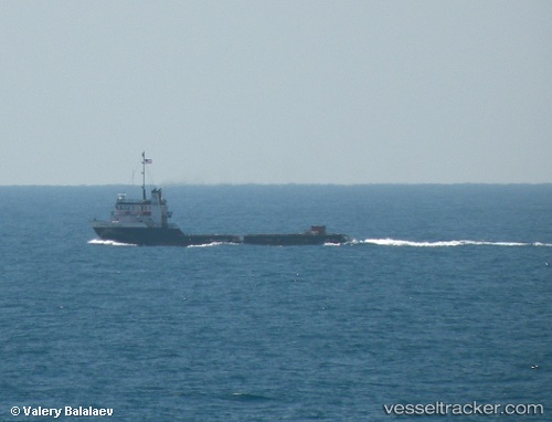
 Marie Cheramie
Current Status
Where is the vessel?
Marie Cheramie is currently in 53 nm SW of Catalina Island, based on AIS data received about 1h ago.
Latest AIS update:
Current position: 32.65769° N, 119.02983° W (53 nm SW of Catalina Island)
Average speed (last 7 days): Loading…
Average speed (last 30 days): Loading…
Vessel profile: Marie Cheramie is a Offshore Tug Supply Ship with dimensions m x m.
This page combines live AIS, route history, probable destination signals, nearby traffic, and port activity for practical vessel monitoring.
The current position of vessel Marie Cheramie is 32.65769 lat / -119.02983 lng. Updated: 2026-04-28 23:39:49 UTCNearest reference points:
- 12 nm SW of Avalon
- 17 nm S of Avalon
- 35 nm W of Del Mar, San Diego
Currently sailing under the flag of USA ![]()
Marie Cheramie built in 2000 year
Deadweight:
748 tDetails:
Live Vessel Marie Cheramie Analytics (details, animations, etc.)
Recent AIS points (UTC):
2026-04-28 20:00:20 UTC · 32.71796, -119.09916 · SOG 1.3 kn · COG 44°2026-04-28 21:26:38 UTC · 32.69370, -119.07588 · SOG 1.5 kn · COG 47°
2026-04-28 22:55:18 UTC · 32.66983, -119.04498 · SOG 1.5 kn · COG 39°
2026-04-28 23:39:49 UTC · 32.65769, -119.02983 · SOG 1.4 kn · COG 36°