 vesseltracker.com
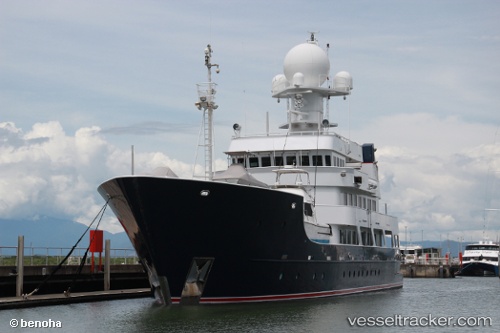
Pangaea Ocean Explor
Current StatusWhere is the vessel?
Pangaea Ocean Explor is currently in 62 nm NW of Golden Bay, based on AIS data received about 112d ago.
Latest AIS update:
Current position: 40.16277° S, 171.64597° E (62 nm NW of Golden Bay)
Average speed (last 7 days): Loading…
Average speed (last 30 days): Loading…
Vessel profile: Pangaea Ocean Explor is a Service Ship with dimensions 11m x 58m.
This page combines live AIS, route history, probable destination signals, nearby traffic, and port activity for practical vessel monitoring.
The current position of vessel Pangaea Ocean Explor is -40.16277 lat / 171.64597 lng. Updated: 2026-01-21 09:45:14 UTCNearest reference points:
- Near Nelson
- Near Renwick
- Near WAIKAWA
Details:
Live Vessel Pangaea Ocean Explor Analytics (details, animations, etc.)
Recent AIS points (UTC):
2026-01-21 09:45:14 UTC · -40.16277, 171.64597 · SOG 8.4 kn · COG 338°