 vesseltracker.com
 NURDOGAN
Current Status
Where is the vessel?
NURDOGAN is currently in 19 nm W of Psará, based on AIS data received less than 1h ago.
Latest AIS update:
Current position: 38.45389° N, 25.17948° E (19 nm W of Psará)
Average speed (last 7 days): Loading…
Average speed (last 30 days): Loading…
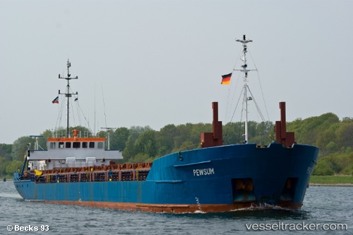
Vessel profile: NURDOGAN is a General Cargo with dimensions m x m.
This page combines live AIS, route history, probable destination signals, nearby traffic, and port activity for practical vessel monitoring.
The current position of vessel NURDOGAN is 38.45389 lat / 25.17948 lng. Updated: 2026-05-14 00:14:20 UTCNearest reference points:
- 28 nm NW of Psará
- 29 nm SW of Sigri Lesvou
- 16 nm E of Skíros
Currently sailing under the flag of Saint Vincent and the Grenadines ![]()
Details:
Live Vessel NURDOGAN Analytics (details, animations, etc.)
Recent AIS points (UTC):
2026-05-13 20:16:02 UTC · 38.43518, 25.14312 · SOG 0.6 kn · COG 313°2026-05-13 21:34:01 UTC · 38.44732, 25.14774 · SOG 0.5 kn · COG 325°
2026-05-13 22:43:40 UTC · 38.45585, 25.15410 · SOG 0.5 kn · COG 6°
2026-05-14 00:14:20 UTC · 38.45389, 25.17948 · SOG 0.9 kn · COG 31°