 vesseltracker.com
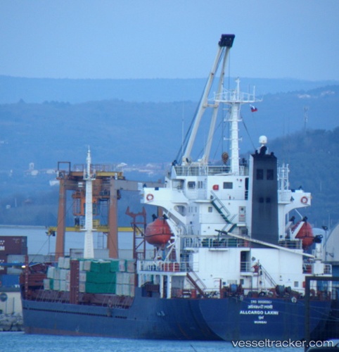
Princess Amnah
Current StatusWhere is the vessel?
Princess Amnah is currently in Near LATAKIA, based on AIS data received about 1h ago.
Latest AIS update:
Current position: 35.53451° N, 35.73156° E (Near LATAKIA)
Average speed (last 7 days): Loading…
Average speed (last 30 days): Loading…
Vessel profile: Princess Amnah is a General Cargo Ship with dimensions 18m x 112m.
This page combines live AIS, route history, probable destination signals, nearby traffic, and port activity for practical vessel monitoring.
The current position of vessel Princess Amnah is 35.53451 lat / 35.73156 lng. Updated: 2026-05-15 14:00:46 UTCNearest reference points:
- Near Al Latakia
- Near Al Ladhiqiyah
- Near Tartous
Details:
Live Vessel Princess Amnah Analytics (details, animations, etc.)
Recent AIS points (UTC):
2026-05-15 10:27:55 UTC · 35.53481, 35.73098 · SOG 0.2 kn · COG 198°2026-05-15 11:42:45 UTC · 35.53461, 35.73121 · SOG 0.8 kn · COG 200°
2026-05-15 13:40:25 UTC · 35.53461, 35.73139 · SOG 0.4 kn · COG 220°
2026-05-15 14:00:46 UTC · 35.53451, 35.73156 · SOG 0.1 kn · COG 224°