 vesseltracker.com
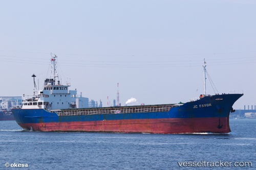
 Dong Yang
Current Status
Where is the vessel?
Dong Yang is currently in 15 nm NW of EL DEKHEILA, based on AIS data received less than 1h ago.
Latest AIS update:
Current position: 31.34684° N, 29.63995° E (15 nm NW of EL DEKHEILA)
Average speed (last 7 days): Loading…
Average speed (last 30 days): Loading…
Vessel profile: Dong Yang is a General Cargo Ship with dimensions 89m x 14m.
This page combines live AIS, route history, probable destination signals, nearby traffic, and port activity for practical vessel monitoring.
The current position of vessel Dong Yang is 31.34684 lat / 29.63995 lng. Updated: 2026-05-14 07:20:24 UTCNearest reference points:
- Near EL DEKHEILA
- 13 nm W of EL DEKHEILA
- Near Alexandria
Currently sailing under the flag of Sierra Leone ![]()
Details:
Live Vessel Dong Yang Analytics (details, animations, etc.)
Recent AIS points (UTC):
2026-05-14 03:32:59 UTC · 31.73883, 29.34080 · SOG 7.8 kn · COG 147°2026-05-14 03:32:59 UTC · 31.73883, 29.34080 · SOG 7.8 kn · COG 147°
2026-05-14 07:20:24 UTC · 31.34684, 29.63995 · SOG 7.9 kn · COG 145°
2026-05-14 07:20:24 UTC · 31.34684, 29.63995 · SOG 7.9 kn · COG 145°