 vesseltracker.com
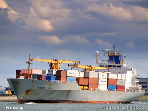
 HUA YANG
Current Status
Where is the vessel?
HUA YANG is currently in 50 nm E of ZHOUSHAN, based on AIS data received less than 1h ago.
Latest AIS update:
Current position: 29.96701° N, 123.17055° E (50 nm E of ZHOUSHAN)
Average speed (last 7 days): Loading…
Average speed (last 30 days): Loading…
Vessel profile: HUA YANG is a Reefer with dimensions m x m.
This page combines live AIS, route history, probable destination signals, nearby traffic, and port activity for practical vessel monitoring.
The current position of vessel HUA YANG is 29.96701 lat / 123.17055 lng. Updated: 2026-05-16 17:52:04 UTCNearest reference points:
- 51 nm E of ZHOUSHAN
- 43 nm E of ZHOUSHAN
- 44 nm E of ZHOUSHAN
Currently sailing under the flag of Vanuatu ![]()
Details:
Live Vessel HUA YANG Analytics (details, animations, etc.)
Recent AIS points (UTC):
2026-05-16 14:25:59 UTC · 29.96996, 123.16953 · SOG 0.5 kn · COG 198°2026-05-16 16:04:10 UTC · 29.96771, 123.17055 · SOG 0.2 kn · COG 249°
2026-05-16 17:04:03 UTC · 29.96674, 123.17013 · SOG 0.2 kn · COG 297°
2026-05-16 17:52:04 UTC · 29.96701, 123.17055 · SOG 0.2 kn · COG 313°