 vesseltracker.com
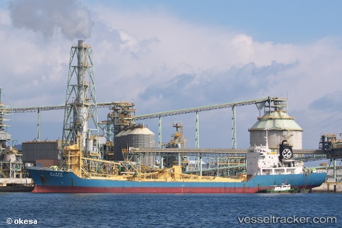
Ryoko 8
Current StatusWhere is the vessel?
Ryoko 8 is currently in Near LANGADAI, based on AIS data received less than 1h ago.
Latest AIS update:
Current position: 3.28299° S, 116.10913° E (Near LANGADAI)
Average speed (last 7 days): Loading…
Average speed (last 30 days): Loading…
Vessel profile: Ryoko 8 is a Cement Carrier with dimensions 16m x 113m.
This page combines live AIS, route history, probable destination signals, nearby traffic, and port activity for practical vessel monitoring.
The current position of vessel Ryoko 8 is -3.28299 lat / 116.10913 lng. Updated: 2026-05-13 23:45:20 UTCNearest reference points:
- Near TANJUNG PEMANCINGAN
- Near Bunati
- 12 nm SE of Bunati
Details:
Live Vessel Ryoko 8 Analytics (details, animations, etc.)
Recent AIS points (UTC):
2026-05-13 20:03:18 UTC · -3.28298, 116.10911 · SOG 0 kn · COG -1°2026-05-13 21:51:57 UTC · -3.28167, 116.10833 · SOG 0 kn · COG -1°
2026-05-13 22:09:51 UTC · -3.28167, 116.10833 · SOG 0 kn · COG -1°
2026-05-13 23:45:20 UTC · -3.28299, 116.10913 · SOG 0 kn · COG -1°