 vesseltracker.com
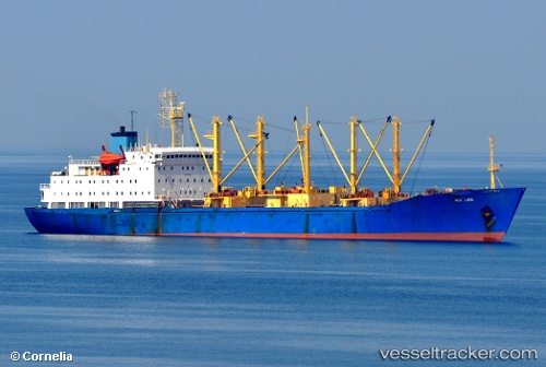
 HAI FENG 678
Current Status
Where is the vessel?
HAI FENG 678 is currently in Near Arturo Prat, based on AIS data received about 1h ago.
Latest AIS update:
Current position: 62.48065° S, 59.72434° W (Near Arturo Prat)
Average speed (last 7 days): Loading…
Average speed (last 30 days): Loading…
Vessel profile: HAI FENG 678 is a Fish Carrier with dimensions m x m.
This page combines live AIS, route history, probable destination signals, nearby traffic, and port activity for practical vessel monitoring.
The current position of vessel HAI FENG 678 is -62.48065 lat / -59.72434 lng. Updated: 2026-05-14 10:20:09 UTCCurrently sailing under the flag of Vanuatu ![]()
Details:
Live Vessel HAI FENG 678 Analytics (details, animations, etc.)
Recent AIS points (UTC):
2026-05-14 07:05:02 UTC · -62.48002, -59.72468 · SOG 0.5 kn · COG 244°2026-05-14 07:32:04 UTC · -62.48056, -59.72422 · SOG 0.4 kn · COG 260°
2026-05-14 09:32:14 UTC · -62.48012, -59.72465 · SOG 0.2 kn · COG 244°
2026-05-14 10:20:09 UTC · -62.48065, -59.72434 · SOG 0.1 kn · COG 266°