 vesseltracker.com
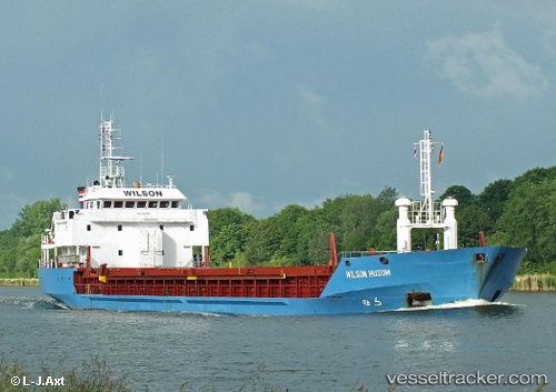
Wilson Husum
Current StatusWhere is the vessel?
Wilson Husum is currently in Near Aveiro, based on AIS data received less than 1h ago.
Latest AIS update:
Current position: 40.73284° N, 8.97249° W (Near Aveiro)
Average speed (last 7 days): Loading…
Average speed (last 30 days): Loading…
Vessel profile: Wilson Husum is a Limestone Carrier with dimensions 15m x 90m.
This page combines live AIS, route history, probable destination signals, nearby traffic, and port activity for practical vessel monitoring.
The current position of vessel Wilson Husum is 40.73284 lat / -8.97249 lng. Updated: 2026-05-02 17:43:19 UTCNearest reference points:
- Near Gafanha da Nazaré
- Near Matosinhos
- Near Figuera Da Foz
Details:
Live Vessel Wilson Husum Analytics (details, animations, etc.)
Recent AIS points (UTC):
2026-05-02 14:10:52 UTC · 41.19315, -8.68781 · SOG 0 kn · COG 232°2026-05-02 16:19:31 UTC · 40.93724, -8.84949 · SOG 9.6 kn · COG 203°
2026-05-02 16:51:09 UTC · 40.85911, -8.89113 · SOG 9.5 kn · COG 205°
2026-05-02 17:43:19 UTC · 40.73284, -8.97249 · SOG 9.8 kn · COG 207°